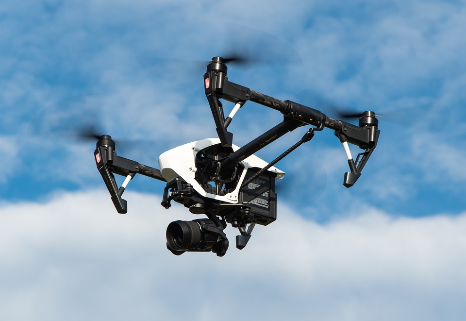
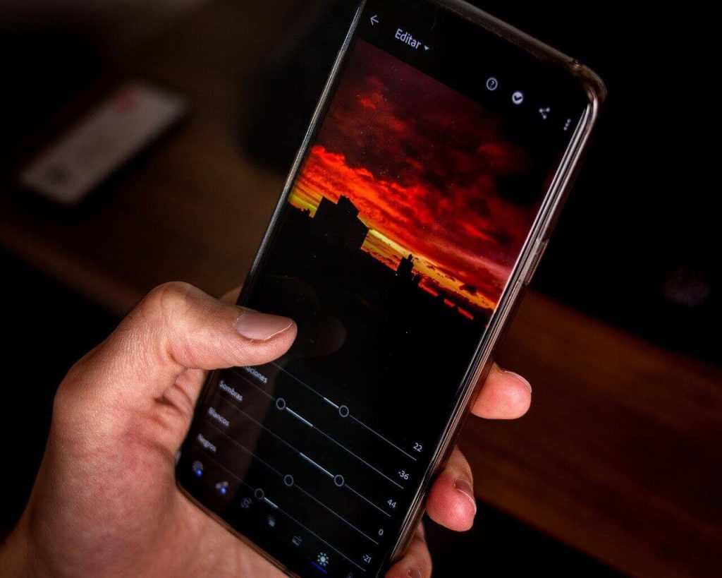
Drone apps are software applications that can be used in conjunction with drones to perform a variety of tasks.
Drone apps can provide a user interface for controlling your drone and accessing its various features, such as real-time video feeds and GPS tracking.
How do you bypass drone restrictions?
These apps allow you to control and fly your drone. They typically include features such as real-time video feeds, GPS tracking, and altitude and distance limits.
Some Drone apps allow you to create maps or surveys using your drone’s camera and GPS data through which you can fly out your drone.
Most people use drones for Photography and videography so some of them allow you to capture photos and videos using your drone’s camera and control features such as exposure and focus.
It’s important to note that different drones may have other apps available or may require specific apps to be used with them.
Can the FAA track your drone?
There are a variety of different drone apps out there and here I have gathered specific 10 best drone apps for you to make it easy for you to use drones.
1. Google Earth

Ratings: 4.3/5 (2M ratings) on PlayStore & 4.6/5 (32.8k ratings) on App Store
Google Earth is a mapping and visualization software application developed by Google. It allows users to view satellite images, maps, and the terrain of the Earth.
If you are wondering why I am recommending this then the first thing you want to know after getting the drone is to figure out where to fly it out.
It allows you to view the Earth in 3D, giving you a more immersive and realistic view of the planet so you can use it for finding the best place.
Here it includes a number of layers that you can turn on and off to see different types of information, such as satellite imagery, topographic maps, and 3D buildings, and through this, you will find the safe place for your drone.
Google Earth Features:
- Ideal for finding the place
- 3D view
- A realistic view of places
- Different information
- best drone app
- Free to use
- Available as web to
- Easy to find safe places
Price: Free
2. Airmap
Ratings: 3.4/5 (3.88k M ratings) on PlayStore & 4.7/5 (12.3k ratings) on App Store
AirMap is a digital airspace management platform that provides real-time information about airspace rules and conditions for drones and other aircraft.
The drone platform is designed to help drone operators understand and comply with local and national airspace regulations, as well as to provide information about potential hazards and restrictions.
It provides real-time information about airspace rules and conditions, including temporary flight restrictions (TFRs), no-fly zones, and airspace authorization requirements.
Here it provides alerts about potential hazards such as weather conditions, wildfires, and other events that may affect your drone.
Airmap Features:
- Provides real-time information
- It designed to help drone operators
- Provides rules and conditions
- No-fly zones
- Ideal for drones
- Alerts on potential hazards
Price: Free
3. FAA’s B4UFly
Ratings: 4/5 (1.8k ratings) on PlayStore & 4/5 (349 ratings) on App Store
FAA’s B4UFly is a mobile app developed by the Federal Aviation Administration (FAA) in the United States to help drone operators understand and comply with airspace regulations.
The free drone app provides real-time information about airspace rules and conditions, as well as alerts about potential hazards and restrictions.
It provides a map of the airspace, showing the location of airspace rules and conditions, such as temporary flight restrictions (TFRs), no-fly zones, and airspace authorization requirements.
Here it also includes a flight status indicator that tells you whether it is safe to fly in your current location and provides guidance on how to proceed.
FAA’s B4UFly Features:
- Ideal for drone operators
- Shows real-time locations
- Developed by Federal Aviation Administration (FAA)
- Hazard alerts
- Flight planning tools
- Free to download
- Comes with airspace regulations
Price: Free
4. DroneDeploy
Ratings: 3.1/5 (3.8k ratings) on PlayStore & 4.7/5 (3.8k ratings) on App Store
DroneDeploy is a cloud-based drone app that provides tools for creating maps, 3D models, and other visualizations using data collected by drones.
The platform is designed for a wide range of industries, including agriculture, construction, mining, and energy.
It includes a drone with camera tools for planning and executing automated flights or missions for your drone, as well as tools for creating flight plans and generating flight logs.
Here It is used by a wide range of organizations, including businesses, governments, and research institutions.
DroneDeploy Features:
- Cloud-based software
- Create maps
- 3D models
- Automated flights
- Create flight plans
- Generate flight logs
Price: Free
5. UAV Forecast
Ratings: 4.6/5 (8.2k ratings) on PlayStore & 4.8/5 (1.1k ratings) on App Store
UAV Forecast is a weather forecasting app specifically designed for drone operators so if you are looking for a weather app then this is for you.
The free drone app provides real-time weather information and forecasts that are relevant to drone flying, including data on temperature, wind speed and direction, humidity, and visibility.
It provides real-time weather data for a specific location, including temperature, wind speed and direction, humidity, and visibility
It is designed to help drone operators make informed decisions about when and where to fly their drones based on weather conditions.
Price: Free
UAV Forecast Features:
- Real-time weather app
- Wind and direction speed
- Provides you with detailed information
- Drones based
- 3DR drone
- Includes tools for planning your flights
- Speed calculator
Price: Free
6. Aloft

Ratings: 3/5 (917 ratings) on PlayStore & 4.6/5 (3.5k ratings) on App Store
Aloft is a drone-based inspection and monitoring platform developed by Airobotics and it is one of the most robust platforms to use.
The platform uses autonomous drones to perform inspections and gather data for various industries, including mining, oil and gas, and manufacturing.
The platform uses autonomous drones to perform inspections and gather data, allowing for efficient and repeatable data collection.
Here it provides real-time data and insights, including high-resolution images and video, allowing users to monitor their assets and operations in real-time.
Aloft Features:
- Drone-based app
- Robust to use
- Includes mining
- Real-time data and insights
- High-resolution images and video
- Monitor assets
- Third-party integration
Price: Free
7. Sun Surveyor
Ratings: 4.3/5 (3.7k ratings) on PlayStore & 4.8/5 (210 ratings) on App Store
Sun Surveyor is a mobile app that provides information about the sun and moon, including their positions in the sky, times of sunrise and sunset, and the phases of the moon.
It is a great app to know where the sun and moon are photography through the drone and is an accurate photography tool.
The app is designed to help photographers, filmmakers, and other creatives plan and execute outdoor shoots.
It provides information about the positions of the sun and moon in the sky, including their azimuth and altitude, as well as their path across the sky.
Sun Surveyor Features:
- Ideal for photography
- Easy to use
- Ideal for outdoor shoots
- Creative plan
- You can track the sky
- Positions of sun and moon
Price: $7.99
8. Verifly
Ratings: 4.4/5 (85k ratings) on PlayStore & 4.6/5 (410k ratings) on App Store
Verifly is a drone insurance platform that provides on-demand liability insurance for drone pilots and you can use it for tho.
The platform is designed to help drone pilots protect themselves and their businesses against the risks associated with flying drones, including damage to property and injuries to third parties.
The free drone app allows drone pilots to purchase insurance coverage on a per-flight basis, allowing them to get the protection they need when they need it.
Here it allows drone pilots to customize their insurance coverage based on their specific needs and the risks they face, including coverage for damage to property and injuries to third parties.
Verifly Features:
- On-demand options
- Protect your equipment
- Here you get the protection
- Per flight basis
- Customize the insurance
- Coverage of damage
- Online quote tool
Price: Free
9. Litchi for DJI drones
Ratings: 4.5/5 (10k ratings) on PlayStore & 4.4/5 (1.4k ratings) on App Store
Litchi is a third-party app that provides additional features and functionality for DJI drones so if you are looking for additional features then this is for you.
The android drone app is designed to enhance the capabilities of DJI drones, including features for flight planning, waypoint navigation, and automated missions.
It allows you to plan and execute automated flights or missions for your DJI drone, including waypoint navigation and support for DJI’s ActiveTrack and Follow Me modes.
Here it also provides real-time telemetry data for your DJI drone, including information on altitude, distance, speed, and battery life.
Litchi for DJI drones Features:
- Automated missions
- Flight planning
- Waypoint navigation
- Battery life
- Real-time data
- Offers some additional features
Price: $24.99
10. Google’s Wing Aviation OpenSky

Ratings: 3.8/5 (530 ratings) on PlayStore
OpenSky is a drone traffic management platform developed by Wing Aviation, a subsidiary of Google.
The Drone platform is designed to help drone operators manage their flights and comply with airspace regulations.
It also provides information to air traffic controllers and other authorities about the location and movements of drones in their airspace.
Here it is used by a wide range of drone operators, including hobbyists, commercial operators, and government agencies. It is available as a web-based platform.
Google’s Wing Aviation OpenSky Features:
- Web-based platform
- Easy to use
- Commercial operators
- Drone operators use it
- Easy to use
- Ideal for traffic management
- It integrated with a number of drones
Price: Free
